Reem Island occupies a particular place in Abu Dhabi bus tour routing — close enough to downtown to include on extended loops, visually distinct enough to feel like a chapter change, and coastal enough to reward riders who care about marina sightlines and bridge elevation. Where the mainland corniche offers open Gulf horizons, Reem delivers channel geometry, residential tower clusters, and waterfront promenades that read as newer, denser, and more vertical. We documented Reem segments across three operators' island spurs in winter and early spring. This review covers bridge approaches, coastal boulevard pacing, stop logic, and how Reem contrasts with Al Maryah and the older corniche fabric.
Bridge entry and the elevation moment
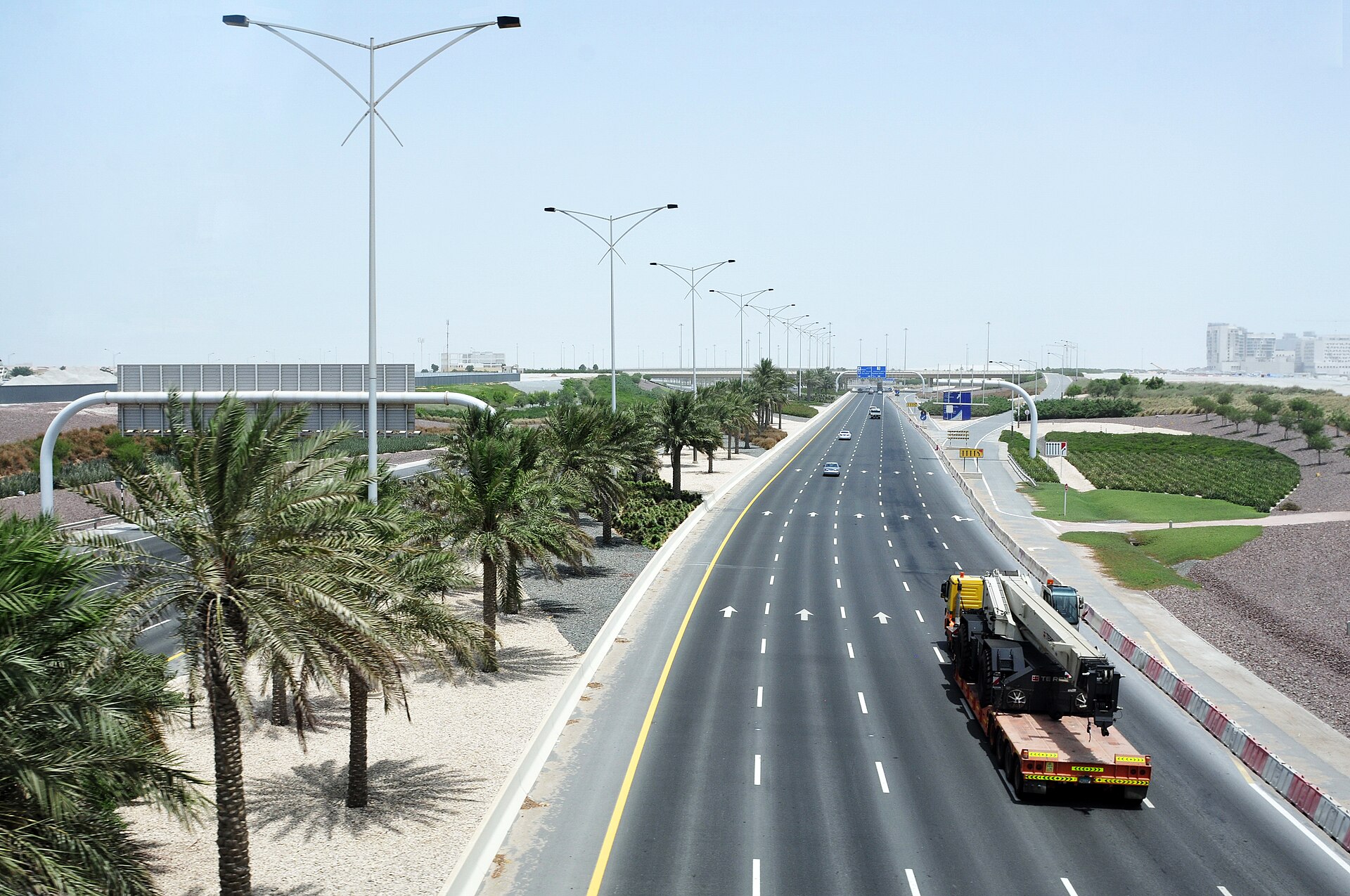
Reem Island is not the mainland — tours that include it must cross bridge infrastructure, and that crossing is often the segment's first photographic gift. Coaches gain elevation; channel water spreads on both sides; and the tower cluster ahead composes into a skyline that feels separate from downtown's spread. Narration typically marks the transition — island development timeline, residential versus commercial mix, proximity to Al Maryah across the channel. Recording quality determines whether riders hear specific project names or generic growth language.
Wind on bridge approaches can be noticeable on open upper decks, especially on winter evenings. The exposure is shorter than corniche legs but sharper because bridge railings do not buffer gusts. Seat choice matters less on bridges — both sides often have water — but matters again once the coach descends to boulevard level and towers block one side.
Coastal boulevard pacing
Once on Reem, tours follow waterfront roads where marina berths, yacht masts, and promenade joggers appear at kerb level. Pacing is slower than highway legs — operators seem to accept that riders photograph here — but dwell is not guaranteed unless the route includes a marked stop. Through-transit segments may last ten to twenty minutes depending on loop design and traffic. Evening loops catch terrace lighting and reflections; morning loops favour calm water and softer façade light.
The visual register differs from Al Maryah's financial precision. Reem reads as residential waterfront — towers above, cafés and marina activity below. Riders who have already seen Al Maryah on the same loop often notice how two island districts can share channel geography yet project different urban personalities. That contrast is one reason operators pair both on extended routes.
Stops and stepping off
Reem stops vary by operator. Some pause near promenade clusters with shade and waterfront views; others treat the island as panoramic transit only. When stops exist, dwell time is typically modest — enough for photography and a short walk, not enough for marina dining unless you plan to rejoin a later loop. Families appreciate stops with wide pavements and railings; photographers prefer through-transit with continuous movement for varied angles.
- Marina-adjacent stops — strongest at golden hour; yacht masts catch last light.
- Through-transit segments — sufficient for orientation; pair with an independent evening return if dining on the promenade appeals.
- Combined Al Maryah–Reem loops — clarify channel relationships; allow extra total loop time for bridge congestion.
Reem and eastern mangroves segments on the same day illustrate Abu Dhabi's range — wetland green and marina glass within a single tour narrative. Sit on the water side for each segment before boarding if your loop includes both.
Contrast with corniche texture
The mainland corniche carries historical weight — wide Gulf views, public beach associations, and a horizontal calm that Reem's vertical marina density does not replicate. Bus tours that include both give riders a useful comparison: older capital leisure versus newer island development. Narration does not always articulate that contrast; the window does. Travelers interested in urban evolution should note façade ages, street-tree maturity, and promenade width as subtle tells.
Public municipal buses also serve Reem, which means independent return visits are straightforward for riders who preview the island from a tour coach. The sightseeing format's value here is composition and narrative placement — understanding where Reem sits relative to downtown, Al Maryah, and mangrove edges before navigating independently.
Season and practical rhythm
Summer heat accumulates on Reem promenades despite channel breeze; morning tours are kinder than midday. Winter weekends see heavier foot traffic near marina cafés when stops coincide with leisure hours. Event traffic near bridge exits can extend segment duration without warning during waterfront festivals. Ramadan alters terrace activity patterns without necessarily removing routing.
Reem Island is not a landmark in the monument sense — there is no single building that defines the visit the way the Grand Mosque defines its approach. The island is a texture and a relationship: channel water, bridge connection, marina life, and tower density. Bus tours that include Reem answer whether your capital map should extend offshore beyond the corniche curve. For most first-time visitors, the answer is yes — and the coach window is an efficient place to learn why.